
The United States government and primary domestic commercial satellite operators have restricted public access to high-resolution aerial imagery across Iran and the broader Middle East conflict zone.
The data blackout follows a formal request from the White House aimed at preventing adversarial forces from leveraging open-source intelligence to coordinate battlefield operations.
The restrictions mark a significant escalation in wartime information control, limiting the ability of media organizations, human rights groups, and independent researchers to verify battlefield claims or assess infrastructure damage.
Shifting to a Managed Access Architecture
This policy change has reshaped the distribution protocols of major U.S. remote sensing corporations. Meaning that any images are subject to Pentagon review.
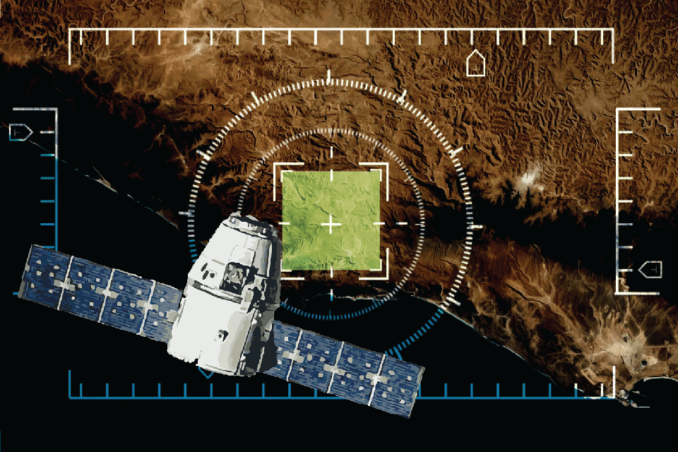
On April 4, 2026, the California-based Earth observation company, Planet Labs notified clients it would indefinitely withhold high-resolution imagery of Iran and adjacent areas. The directive operates retroactively to March 9, 2026. The platform has transitioned to a restricted “managed access model,” under which imagery is evaluated on a strict case-by-case basis and only cleared for urgent, public-interest or mission-critical requirements.
Vantor (Enhanced Access Controls), the geospatial intelligence firm (formerly Maxar Technologies) confirmed it is actively enforcing proprietary access restrictions across active regions of the Middle East. These protocols restrict the purchase of archival images and block fresh collection requests over territories where allied forces are operating or areas being targeted by hostile forces.
Operational and Tactical Drivers Behind the Blackout
Modern military engagements are highly transparent due to the availability of commercial, high-revisit satellite fleets. Although allied electronic warfare and kinetic strikes neutralized Iran’s sovereign orbital assets in the opening phases of the conflict, defense officials noted that commercial data markets still posed an operational vulnerability.
The enforcement of “shutter control” protocols is intended to achieve two primary tactical objectives:
- Denying Battle Damage Assessments (BDA): When a missile strike occurs, adversaries utilize commercial imagery to determine if a target was destroyed, damaged, or entirely missed. Blocking public imagery prevents hostile command elements from conducting rapid, real-time adjustments for follow-on strikes.
- Mitigating Operational Risks for Ground Assets: Frontline reports indicate that early in the conflict, regional forces exploited commercial imagery pipelines to monitor the staging areas, temporary encampments, and supply lines of allied personnel, utilizing the data to guide localized ballistic counter-attacks.
Legal Grounding and Public Scrutiny
Under United States space law and National Oceanic and Atmospheric Administration (NOAA) regulatory frameworks, the federal government retains the statutory right to enforce shutter control on domestic commercial remote sensing licensees during periods of heightened national security risk or foreign policy crises.
Blackout Shielded Extent of U.S. Base Casualties and Destruction
Independent investigative reporting has confirmed a direct link between the enforcement of the satellite blackout and efforts to obscure the scale of the damage suffered by U.S. military installations in the Middle East.
While the Pentagon initially maintained that the “shutter control” protocols were purely a forward-looking measure to deny Iran target-verification data, recent investigations reveal the data freeze was heavily accelerated by the public release of images showing extensive destruction at Western outposts.
The true extent of the devastation was exposed on May 6, 2026, when The Washington Post published a definitive forensic analysis utilizing alternative, non-Western satellite data. By analyzing orbital imagery published by Iranian state-affiliated media and verified by independent geospatial analysts, the investigation revealed that the U.S. government had severely downplayed the consequences of Iranian missile and drone barrages.
In all, Iranian strikes have damaged or entirely destroyed at least 228 separate structures and major pieces of equipment at U.S. military sites across the Gulf States since the war commenced in late February.