
SINGAPORE – As territorial disputes and illegal maritime activities intensify across Southeast Asia, a new market analysis released on March 10, 2026, by space consultant Omkar Nikam identifies the region as the next primary growth engine for Earth Observation (EO) and Synthetic Aperture Radar (SAR) constellations.
The report highlights a critical shift in defense doctrine: Southeast Asian governments are moving away from intermittent aerial patrols toward persistent, orbit-based surveillance to monitor millions of square kilometers of contested and economically vital waters.
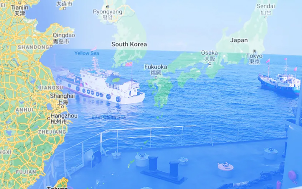
The Problem: Blunting “Dark Vessel” Operations
Traditional Maritime Domain Awareness (MDA) relies heavily on the Automatic Identification System (AIS). However, a significant “awareness gap” has emerged as vessels engaged in illegal, unreported, and unregulated (IUU) fishing, smuggling, or “gray-zone” military maneuvers deliberately disable their AIS transponders to become “dark.”
Satellite technology, specifically SAR, offers a technical solution to this transparency gap:
- All-Weather Monitoring: Unlike optical sensors, SAR can penetrate the heavy cloud cover typical of tropical Southeast Asia, providing 24/7 visibility.
- Persistent Revisit: New mega-constellations from companies like ICEye, Capella Space, and Synspective now offer revisit times of less than one hour, making it nearly impossible for vessels to maneuver undetected between satellite passes.
- Data Fusion: Modern platforms now automatically cross-reference SAR detections with AIS signals to immediately flag “dark” targets for naval interceptors.
Context: Economic and Geopolitical Drivers
The demand is driven by the sheer scale of the maritime territory. Countries like Indonesia, Vietnam, Malaysia, and the Philippines oversee critical global trade arteries, including the Strait of Malacca and the South China Sea.
According to data from the Food and Agriculture Organization (FAO), IUU fishing costs the global economy billions annually. For Southeast Asian nations, this is not merely an environmental concern but a matter of food security and sovereign integrity. The report notes that the cost-per-square-kilometer of satellite surveillance has dropped by approximately 60% since 2022, making space-based MDA financially viable for regional coast guards that previously lacked the budget for sustained aircraft sorties.
Rationale: The Strategic Pivot to Space
Nikam argues that the “future of maritime security will not be decided only by naval fleets… it will be decided in orbit.” The rationale for this strategic pivot includes:
- Cost Efficiency: Satellite constellations provide 24/7 coverage at a fraction of the cost of maintaining a fleet of long-range maritime patrol aircraft (MPA).
- De-escalation: Space-based monitoring allows nations to document incursions without the immediate physical confrontation required by ship-to-ship intercepts, providing a “legal layer” of evidence for international tribunals.
- Economic Protection: Persistent monitoring of Archipelagic Sea Lanes (ASL) ensures the safety of global trade, which is essential for the region’s GDP growth.
Market Outlook: 2026–2035
The analysis concludes that Southeast Asia is on the verge of becoming the most commercially significant maritime intelligence market for space companies over the next decade.
We expect to see a surge in “Sovereign EO” programs, where nations like Thailand and Vietnam move beyond purchasing commercial data to launching their own dedicated SAR clusters. By 2030, the integration of Orbital Edge AI is expected to allow these satellites to process and alert ground stations of suspicious maneuvers in real-time, effectively closing the window for illegal maritime operations in the region.