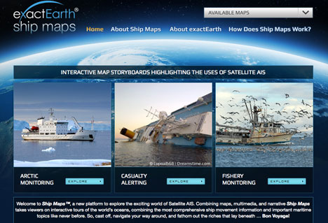
This Ship Maps site is designed to illustrate in an interactive environment the applications of Satellite-AIS (S-AIS) in solving real-world issues across the maritime industry. At the heart of each story, you will see a simple map with sample ship traffic information collected from space.
exactEarth’s Maps… No Folding Required
[SatNews] More information can be overlaid using the various map layers, building greater context into the ship map