
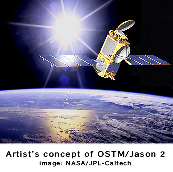
OSTM/Jason 2 Moves Closer To Climatic Launch
On June 15th, from Vandenberg Air Force Base in California, OSTM/Jason 2 is scheduled for launch. This satellite will assist scientists as they monitor and study global sea level changes, ocean circulation and its links to the Earth’s climate, and improve weather and climate forecasts. Final preparations are now being made for the Ocean Surface Topography Mission (OSTM)/Jason 2, which is a partnership of NASA, the National Oceanic and Atmospheric Administration (NOAA), the French Space Agency Centre National d’Etudes Spatiales (CNES), and the European Organization for the Exploitation of Meteorological Satellites (EUMETSAT) — now, that’s a mouthful of organizational monikers. This mission will extend into the next decade the continuous record of sea-surface height measurements that were started by the NASA-CNES TOPEX/Poseidon mission and extended by the NASA-CNES Jason 1 mission in 2001. Measurements from TOPEX/Poseidon and Jason 1 have shown that mean sea level has risen by about 0.12 inches a year since 1993, twice the rate estimated from tide gauges in the past century. But 15 years of data are not sufficient to determine long-term trends. OSTM/Jason 2 will ride to space aboard a NASA-provided United Launch
Alliance Delta II rocket, entering orbit about six to nine miles below Jason 1’s 830-mile-high orbit. OSTM/Jason 2 will use its thrusters to raise itself into the same orbital altitude as Jason 1 and move in close behind its predecessor. There’s a ton of additional info here…—Washington, D.C.