

On August 17, 2026, NASA announced the successful flight demonstration of the Fast Autonomous Lost-in-space Catalog-based Optical Navigation (FALCON) system aboard the agency’s Starling CubeSat mission in low Earth orbit.
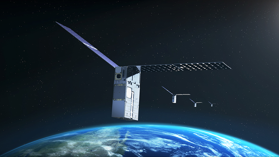
Developed in partnership with commercial software developer EraDrive, the system successfully enabled small spacecraft to calculate their positioning, navigation, and timing without relying on ground-based tracking or traditional GPS signals.
Flight Test Architecture and Optical Parameters
The FALCON experiment was conducted using the 6U CubeSats that comprise NASA’s Starling swarm. Rather than relying on GNSS constellations, the payload leverages EraDrive’s Era-Core flight software integrated into Starling’s existing optical star-tracker cameras.
During the initial testing phase, the software captured optical sightings of nearby operational satellites and space debris, matching those images autonomously against an onboard orbital catalog. Beyond positioning itself, the onboard edge-computing platform demonstrated space situational awareness capabilities by autonomously refining and updating trajectory data for more than 200 observed space objects.
“FALCON is yet another success for the Starling demonstration mission,” said Roger Hunter, program manager for NASA’s Small Spacecraft and Distributed Systems program at NASA’s Ames Research Center. “The results from FALCON can have far-reaching implications for on-orbit space-traffic monitoring, collision avoidance, and alternative navigation.”
Operational Outlook for Cislunar and Deep Space
The flight demonstration marks a critical step toward fully autonomous satellite operations in environments where terrestrial GPS signals are either unavailable or degraded. NASA plans to utilize the telemetry gathered from the FALCON payload to refine autonomous navigation software for future lunar constellations, cislunar logistics, and deep-space science swarms operating beyond Earth orbit.
