
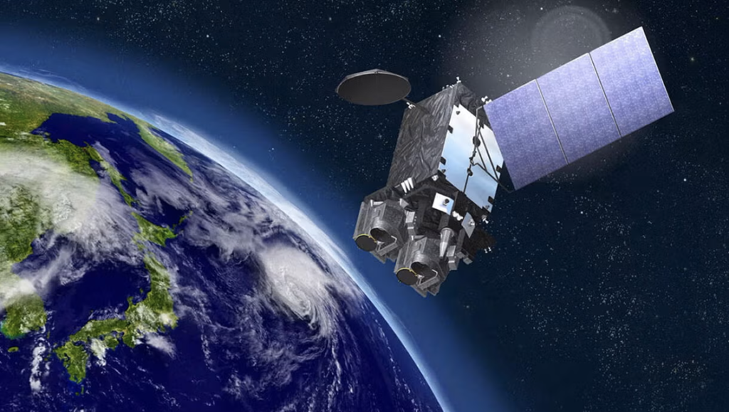
L3Harris Technologies has completed the Critical Design Review (CDR) of the imaging and sounding instruments for the Japan Meteorological Agency’s (JMA) new geostationary meteorological satellite, Himawari-10.
The CDR, performed jointly with JMA and Mitsubishi Electric Corporation (MELCO), confirmed that L3Harris’ advanced imager and hyperspectral infrared sounder designs are ready for system-level production. The manufacturing of subsystems for both instruments is currently actively underway.
In 2023, L3Harris received a five-year contract to build and deliver the advanced imager and hyperspectral IR sounder payloads for Himawari-10. This collaboration underscores the company’s longstanding commitment to improving weather forecasting and environmental monitoring capabilities worldwide.
Technological Enhancements
The Himawari-10 imager builds on the success of its predecessor—designed for Himawari-9—ensuring seamless continuity of observations while providing additional capabilities. The new imager includes two new spectral bands for superior water vapor measurement, plus seven others for enhanced resolution.
In addition, the Himawari-10 sounder will provide highly accurate, real-time data regarding atmospheric temperature and humidity. Together, these upgrades will enable improved precision and accuracy for forecasting and environmental monitoring in Japan and the Asia-Pacific region.
“For over two decades, L3Harris has been a proud partner in delivering advanced weather technology to Japan,” said Paul Wloszek, Vice President and General Manager, Spectral Systems, L3Harris. “New to Himawari-10 are hyperspectral infrared sounding observations that will greatly enhance the precision and accuracy of short-term forecasts for severe weather, such typhoons and concentrated heavy rainfall that can lead to flooding and mudslides.”
Geostationary Imaging: The ABI Standard
The cornerstone of L3Harris’ weather division is the Advanced Baseline Imager (ABI). This instrument is currently the primary payload for the United States’ GOES-R series (GOES-16, -17, -18, and -19) as well as Japan’s Himawari-8/9 and South Korea’s GEO-KOMPSAT-2A.
Compared to previous generations, the ABI captures data with three times more spectral information (16 bands), four times the spatial resolution, and five times faster coverage.
A defining feature of the ABI is its ability to scan “mesoscale” sectors—areas of high severe weather activity—every 30 seconds. This allows meteorologists to watch thunderstorms bubble up in near real-time, significantly increasing warning lead times for tornadoes and hurricanes.
The 16 bands allow for the discrimination of distinct environmental features, such as distinguishing between clouds, snow, smoke, and volcanic ash.
Hyperspectral Sounding: The CrIS Instrument
While imagers provide the “picture” of the weather, sounders provide the “structure” of the atmosphere. L3Harris produces the Cross-track Infrared Sounder (CrIS), a key instrument flying on NOAA’s Joint Polar Satellite System (JPSS) satellites.
CrIS is a Fourier transform spectrometer that measures over 2,000 infrared channels. It effectively slices the atmosphere into thin horizontal layers, measuring temperature, pressure, and moisture at each altitude.
The data from CrIS is critical for global forecast models (like the GFS and ECMWF). By feeding precise vertical profiles into these supercomputers, CrIS helps predict weather patterns 5 to 7 days in advance.
The instrument features a highly stable internal calibration target, ensuring that the data remains accurate over years of operation in the harsh environment of space.