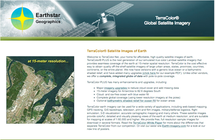
[SatNews] Earthstar Geographics LLC (San Diego, CA, USA) has released the latest round of upgrades to their TerraColor 15-meter global satellite imagery dataset.
Most of the upgrades were made to reduce cloud cover in problem areas such as Tierra del Fuego, the Kamchatka Peninsula and many other areas using precision terrain corrected Landsat 7 imagery. The current upgrades are part of an ongoing program to improve the TerraColor dataset, and many examples are provided in an example PDF file on the company’s website. TerraColor is a precision orthorectified global imagery base map built primarily from Landsat 7 satellite imagery. Applications include web-based mapping, GPS tracking, 3‑D visualization, GIS backdrops, television, print and film images, military/defense logistics, flight simulation, accurate cartographic mapping and many others. TerraColor provides complete pole-to-pole global coverage, and is processed using Earthstar’s global ocean mask to remove clouds, ice, and image edges from ocean areas. The product may be purchased with either a standard blue ocean or a bathymetric color shaded relief ocean fill.
- Skip to primary navigation
- Skip to main content
- Skip to primary sidebar
- Skip to secondary sidebar
- Skip to footer

![]()
Satellite Industry Intelligence Since 1983

Footer
![]()
Satnews is a leading provider of satellite news, events, publications, research and other satellite industry information in both commercial and military enterprises worldwide.