This time of year is avalanche time in Svalbard, an archipelago north of mainland Norway. The mild and rainy winter in this Arctic Ocean region has little sunlight as it's the polar winter thereby making avalanche watching a difficult task.

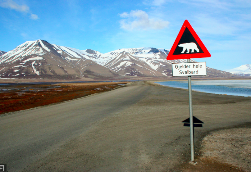
Polar bear crossing in Svalbard
Now with the help of satellites scientists can locate snow and ice slides using radar satellites. This is helpful as recent images reveal 50 new avalanches among a small portion of Svalbard between the ports of Longyearbyen and Barentsburg. The satellites can reveal the presence an avalanche but can’t ascertain what kind it is. This number of avalanches is uncommon but thought by some to be the result of global warming.
“They reveal several avalanches all across Svalbard,” Bernd Etzelmüller, a geoscientist at the University of Oslo in Norway, said in a news release.
“However, it’s probably a mix of snow, slush and mud,” said Andreas Max Kääb, also an Oslo geoscientist. “It’s nevertheless dramatic if it affects habited communities at Svalbard. Radar images works completely different than optical images and are sensitive to changes to humidity and ground structure.”
“It is very likely that extreme weather like this will be more common in the future,” Etzelmüller said. “This will demand another level of emergency preparedness than what is currently in place, especially close to habited communities.”

