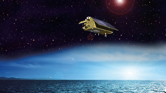
Ocean Surface Topography To Capture Jason-CS/Sentinel-6′ Attention
The measurements made are vital for modelling the oceans and predicting rises in sea levels.
Read More
![]()
Satellite Industry Intelligence Since 1983
The measurements made are vital for modelling the oceans and predicting rises in sea levels.
Read More
Changes in the environment, global trade and travel are all factors in the ever-increasing numbers and movement of pests.
Read More
“The scale of this project and integration of land-based/maritime satellite imagery to influence planning decisions and track carbon is ground breaking."
Read MoreThe aim is to provide space data and operational support to Copernicus marine, atmospheric and climate services.
Read MoreSCISAT has become internationally known as the satellite that provides measurements of more than 40 atmospheric constituents.
Read More
This information will significantly improve short- and long-term weather forecasting.<br />
Read More
SMAP will provide the most accurate, highest-resolution global measurements of soil moisture ever obtained from space and will detect whether the ground is frozen or thawed.
Read More
“GLM will have the potential to save lives by using lightning as a reliable indicator of severe weather, like tornadoes."
Read More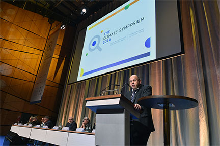
"...bringing together scientists and space agencies to connect satellite observations to the climate challenges we are facing."
Read More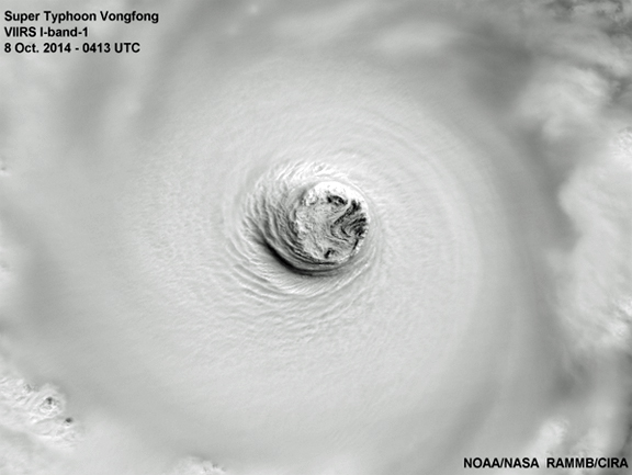
"Its strength is very much similar to Haiyan."
Read More
![]()
Satnews is a leading provider of satellite news, events, publications, research and other satellite industry information in both commercial and military enterprises worldwide.