

Updated September 24, 2026: A further panelist has been added to Cardillo’s session and is now named in the roster below.
Updated September 7, 2026: Cardillo’s session has moved from 11:15 a.m. to 10:45 a.m. on the conference agenda, and a panelist has since been added and is now named in the roster below. The article has been updated.
For four months this year, high-resolution commercial imagery of Iran was effectively off the public market. A directive reached Planet Labs on April 4, backdated to March 9, and the company moved its Middle East holdings behind a restricted managed access model that released imagery case by case. Vantor, the Maxar Earth intelligence business, enforced its own access restrictions over the same period. The archives came back quietly in July. The former NGA director who now chairs Planet’s federal arm takes the MilSat Symposium stage at Silicon Valley Space Week in October.
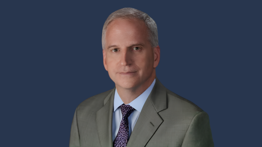
Robert Cardillo is Chief Strategist and Chairman of the Board of Planet Federal, the wholly owned subsidiary Planet Labs created in 2018 to sell its Earth observation data and services to the U.S. government. He has held both titles since April 2021. Before that he was the sixth Director of the National Geospatial-Intelligence Agency, sworn in on October 3, 2014 and departing on February 7, 2019. Cardillo began at the Defense Intelligence Agency in 1983 as an imagery analyst and led analysis and production at NGA from 2002 to 2006. He served as Deputy Director of DIA from 2006 to 2010, then became the first Deputy Director for Intelligence Integration at the Office of the Director of National Intelligence, where he managed and edited the President’s Daily Brief. He holds a bachelor’s degree in government from Cornell University and a master’s in national security studies from Georgetown University.
His session covers the ground his career runs through. Cardillo spent his years at NGA making the case that the government should buy more of its imagery from commercial constellations rather than build everything it needed. That approach is now standard practice across the intelligence community. This spring illustrated the other side of the arrangement. Congress wrote a shutter control provision into the Land Remote Sensing Policy Act in 1992, letting the Commerce Secretary limit distribution by licensed operators on national security grounds. Nobody invoked it. The White House asked, and the imagery went away. How far the military relies on commercial pictures, and on what terms, is what the panel takes up.
Cardillo joins “Commercial GEOINT for the Battlefield” on Thursday, October 29 from 10:45 a.m. to 11:30 a.m., alongside Dr. Eduardo Bendek, Senior Optical Scientist at NASA Ames Research Center and SETI; Scot Currie, Senior Vice President of U.S. Government Engagement at BlackSky; Matthew Jenkins, Chief Space Systems Officer at Vantor; and Dr. Didi Kuo, Principal Deputy Director of GEOINT at the National Reconnaissance Office. Dr. James Crawford, Chief Strategy Officer at Privateer Space, moderates. The program states the premise in a line: commercial satellite photos are entering military decisions, and the session asks how they are being used and by whom. It runs 45 minutes in the Hahn Auditorium at the Computer History Museum in Mountain View.
Silicon Valley Space Week runs October 27 to 29, with the MilSat Symposium occupying the back half of the week. Cardillo’s panel is a late-morning session on the final day.
