

MUNICH, GERMANY — On Wednesday, July 8, 2026, European Space Imaging announced a major upgrade of its satellite ground segment and cloud network architecture to reduce the standard timeline required to task, collect, and process spaceborne high-resolution intelligence.
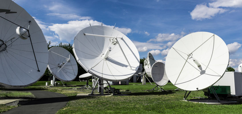
The technological intervention rolls out across the company’s regional facilities to support time-critical national and European Union defense, border security, maritime tracking, and crisis response operations.
High-Speed Tasking and Delivery Matrix
The infrastructure overhaul combines specialized ground station optimization tools with a software-defined distribution framework:
- Rapid Satellite Intelligence Framework: The software pipeline enables security and emergency agencies to execute direct tasking commands up to 30 minutes prior to a target satellite’s scheduled orbital pass.
- Automated Cloud Routing: Automated data pipelines ingest raw imagery downloads from incoming overhead passes, processing and delivering completed geospatial files to user terminals within 15 minutes of orbital collection.
- High-Resolution Constellation Ingestion: The modernized ground infrastructure handles European uplink and downlink scheduling for the Vantor satellite constellation, serving as the primary regional processing hub for 30 cm pan-sharpened optical data.
The system relies on an operational hub located near Munich, run in close coordination with the German Aerospace Center, ensuring that all data curation, cloud computing, and decryption workflows remain within a secure environment. The multi-sensor platform also ingests complementary high-resolution synthetic aperture radar and radio frequency signals to maintain absolute situational visibility regardless of weather conditions or lighting limitations, building upon EUSI’s established regional agreements to offer coordinated radar and optical tasking arrays.
Executive Overview on Speed of Operations
The ground segment update was engineered to address evolving user workflows within institutional procurement setups, prioritizing automated application programming interface integration over manual image requests.
“The intelligence community increasingly requires data at the speed of operations and procurement that integrates directly into their workflows,” said Pascal Schichor, VP of Sales at European Space Imaging. “These upgrades to our ground infrastructure represent a significant investment in European operational capabilities and our direct support of German and broader EU security and space objectives.”
Copernicus Application and Regional Security Operations
The practical utility of the upgraded data routing framework has been validated through an operational partnership with GAF Geospatial GmbH. GAF has integrated the updated web system into the Copernicus Rapid Response Desk, providing institutional operators with a single access point to execute automated catalogue queries, command urgent image acquisitions, and monitor order fulfillment metrics during active emergency response and environmental security missions across Europe.
As European governments accelerate funding allocations for defense space initiatives, the upgraded Munich node establishes a self-contained gateway for commercial satellite intelligence, providing the rapid-revisit monitoring layers required to secure European tactical autonomy.
