

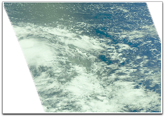
On Tuesday, September 29th, at 11:00 a.m. EDT, Tropical Depression 20W(TD20W) had maximum sustained winds near 34 mph and was located 820 miles east-southeast of the island of Saipan. That’s near 10.5 north and 158.9 east. TD20W was moving west-northwest near 13 mph, and was generating waves 9 feet high. On its current track, TD20W threatens to bring heavy rains and gusty winds to the Federal States of Micronesia. It is expected to intensify into a tropical storm on its track over the next several days. NASA‘s Aqua satellite flew over Tropical Depression 20W shortly after it was “born” on September 28 at 10:17 p.m. EDT (September 29, at 2:17 UTC) and the AIRS instrument captured a visible image of it coming together. (Text credit: Rob Gutro, NASA/Goddard Space Flight Center)
