
On Monday, October 26, 2026, Earth observation operator EarthDaily announced it has received a $3 million task order from NASA to integrate EarthDaily Constellation data with federal land imaging programs.
Conducted alongside the U.S. Geological Survey (USGS), the award funds technical evaluations to assess how commercial satellite observations can support the Sustainable Land Imaging (SLI) commercial transition initiative and complement the scientific record of the Landsat program.
Commercial Harmonization and Artificial Intelligence Validation
The evaluation focuses on benchmarking EarthDaily’s orbital data against Landsat standards across calibration stability, geometric accuracy, and radiometric performance. Federal researchers will test the dataset within USGS Analysis Ready Data and NASA Harmonized Landsat and Sentinel-2 processing pipelines to determine whether commercial feeds can support Landsat-grade surface reflectance. The collaboration also assesses the data’s utility in training artificial intelligence foundation models, building on capabilities established when EarthDaily Analytics acquired Descartes Labs to scale machine-learning workflows for broad-area environmental analytics.
Constellation Architecture and Sensor Specifications
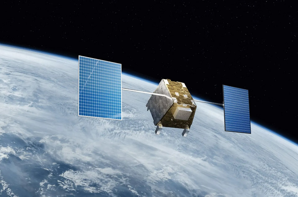
The EarthDaily Constellation currently operates eight of its planned 10 satellites in sun-synchronous orbit, maintaining a 240-kilometer swath with a 10:30 a.m. local equatorial crossing time to image 92 percent of Earth’s landmass daily. Each spacecraft collects unsharpened data across 22 spectral bands spanning visible, near-infrared, short-wave infrared, and thermal wavelengths. The platform provides a native spatial resolution of 5 meters in visible and near-infrared channels, 95 meters in short-wave infrared, and 120 meters in thermal infrared, supported by dedicated water-vapor and cirrus channels for automated atmospheric correction.
Executive Perspectives on Scientific Continuity
EarthDaily leadership emphasized that rigorous calibration is essential for integrating commercial data streams into long-term scientific archives.
“Landsat has created an extraordinary scientific record of how our planet is changing, built on decades of consistent and trusted measurement,” stated Don Osborne, Chief Executive Officer of EarthDaily. “EarthDaily was built around the same fundamental idea: to understand change, you first need measurements you can trust and compare over time. As Earth observation increasingly becomes an input to AI, that consistency becomes even more important.”
Roadmap Toward Hybrid Mission Architectures
Throughout the task order, EarthDaily and federal scientists will conduct technical exchanges to refine data integration protocols and establish standards for commercial derived products. Successful validation will serve as a foundational step toward hybrid mission architectures that combine government-owned orbital assets with commercial constellations.