
As of March 1, 2026, Kpler Marine has become a critical intelligence layer for both commercial and defense stakeholders navigating the heightened maritime conflict in the Persian Gulf and the Bab al-Mandab Strait.
Following the integration of MarineTraffic and FleetMon, Kpler has deployed specialized algorithms to track Iranian “dark fleet” tankers attempting to bypass U.S. sanctions and naval blockades.
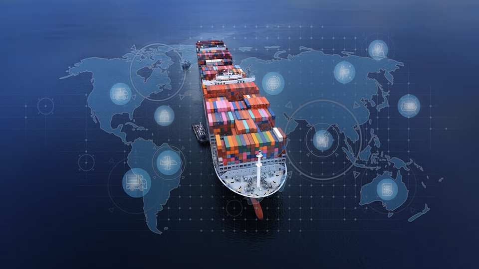
The Proliferation of Dark Ship Tracking
In this current high-threat environment, Kpler utilizes a multi-sensor approach to maintain “decision superiority” over deceptive maritime practices. The primary challenge remains “spoofing”—where vessels transmit false Automatic Identification System (AIS) coordinates to appear in safe waters while actually transiting restricted zones. Kpler counters this by cross-referencing terrestrial and satellite AIS (s-AIS) data with Synthetic Aperture Radar (SAR) imagery. This allows analysts to identify “ghost” vessels that have disabled their transponders but remain visible via radar signatures.
RF Detection and the End of Signal Silence
The first layer of defense involves Radio Frequency (RF) signal mapping, led by firms like HawkEye 360. Even when a ship disables its AIS, it still emits navigation radar, satellite phone signals, and emergency beacons. HawkEye 360’s satellite clusters detect these specific RF “fingerprints,” allowing analysts to geolocate a vessel within kilometers. By overlaying these RF hits with known commercial shipping lanes, security teams can instantly identify “non-cooperative” targets that are attempting to remain invisible.
Synthetic Aperture Radar (SAR) and All-Weather Vision
Because the region often experiences dust storms or heavy cloud cover, traditional optical satellites are frequently blinded. To maintain 24/7 visibility, Synthetic Aperture Radar (SAR) is deployed. SAR satellites, such as those operated by ICEYE or Capella Space, bounce microwave pulses off the ocean surface to create high-resolution images regardless of light or weather conditions. SAR is particularly effective at detecting “Ship-to-Ship” (STS) transfers—a common tactic where two tankers meet in the open ocean to transfer illicit cargo.
Low-Latency Optical Imagery and Change Detection
Once a vessel is flagged via RF or SAR, high-revisit optical constellations like those from BlackSky are tasked to capture high-resolution photos. BlackSky’s architecture is designed for “tactical latency,” often delivering images within 90 minutes of a request. This allow commanders to verify the identity of a ship, check for visible damage from drone strikes, or monitor the activity of fast-attack craft emerging from Iranian coastal facilities. Automated “change detection” algorithms flag any unusual movements in port, providing an “early warning” of potential swarming attacks.
Operational Rationale: Deterrence Through Transparency
The strategic goal of this integrated satellite stack is “Deterrence by Transparency.” By fusing these data streams into platforms like Kpler, the maritime community removes the “cloak of invisibility” that hostile actors rely on. When a vessel’s illegal activities are broadcast in near real-time to global insurers and naval commanders, the cost of aggression—both in terms of insurance premiums and the risk of interdiction—becomes prohibitively high. This orbital surveillance effectively shrinks the “gray zone,” forcing clandestine operations into the light where they can be countered through diplomatic or defensive military action.
Strategic Impact on Global Energy Flows
The ongoing friction between U.S. Naval Forces Central Command (NAVCENT) and Iranian Islamic Revolutionary Guard Corps Navy (IRGCN) has forced a massive redirection of crude oil and LNG traffic. Kpler’s data indicates that as of late February 2026, approximately 18% of global sea-borne oil trade is being rerouted around the Cape of Good Hope to avoid the contested Red Sea corridor. Kpler’s “Freight and Inventory” modules allow traders to calculate the resulting “ton-mile” increase, which has driven global shipping insurance premiums up by 400% since the start of the 2026 fiscal year.
Operational Rationale: Deterrence by Transparency
By making “dark fleet” movements visible to the public and regulatory bodies, Kpler provides a non-kinetic form of deterrence. When a tanker is flagged for ship-to-ship (STS) transfers of Iranian crude in the Gulf of Oman, the transparency provided by Kpler’s platform often triggers immediate financial sanctions or diplomatic pressure, effectively neutralizing the economic benefit of the clandestine transit. This data is also utilized by U.S. and allied naval assets to prioritize boarding operations and maritime interdictions under the framework of Operation Prosperity Guardian.
Next-Generation Predictive Analytics
Looking toward the second half of 2026, Kpler is expected to roll out its “Conflict Risk Assessment” tool, which uses machine learning to predict potential flashpoints based on vessel clustering and unusual course deviations. By analyzing years of historical IRGCN harassment patterns, the system can provide “early warning” alerts to commercial captains, allowing them to adjust course before entering high-risk proximity with non-state or hostile state actors.