

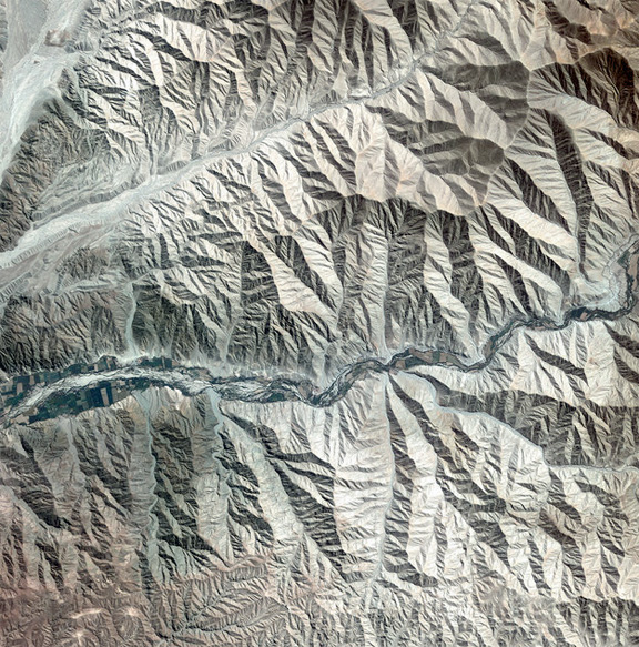
Peruvian landscape, courtesy of ESA and Korea Aerospace Research Institute.
Running across the centre of the image we can see a patchwork of agricultural plots along what appears to be a source of water runoff from the mountains, although there looks to be little to no water present when this image was captured. This area is extremely dry, as evident in the sparse vegetation. Nearby to the southwest of the area pictured is the site of the famous Nazca lines (not visible)—a group of geoglyphs depicting a monkey, spider, hummingbird and other designs. Scratched on the surface of the arid plain, the figures spread over 280 m in length, while some geometrical shapes stretch for kilometres.
The Korea Aerospace Research Institute’s Kompsat-2 satellite acquired this image on May 4, 2011. ESA supports Kompsat as a Third Party Mission, meaning it uses its ground infrastructure and expertise to acquire, process and distribute data to users.
