
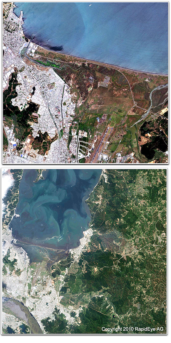
Top image: City of Concepción, Chile, BEFORE, acquired January 22, 2010 — Bottom image: City of Concepción, Chile, acquired February 27, 2010
The analysis clearly shows the affected areas at quite a high level of detail. They are based on images taken around one month before the earthquake (January 22nd, 2010) and images taken on Saturday, February 27th, 2010 at around 11:00 a.m. local time, only hours after the earthquake hit the area at 3:34 a.m. local time. The evaluations depict changes to buildings in the airport area, landslides in forested areas, intrusions of water into urban areas and can be used to support the humanitarian aid community in their efforts.