

On Sept. 29, 2026, satellite services provider Momentus Inc. confirmed the successful operational demonstration of an artificial-intelligence-enabled LiDAR and optical imaging sensor suite during an in-orbit Rendezvous and Proximity Operations (RPO) mission.
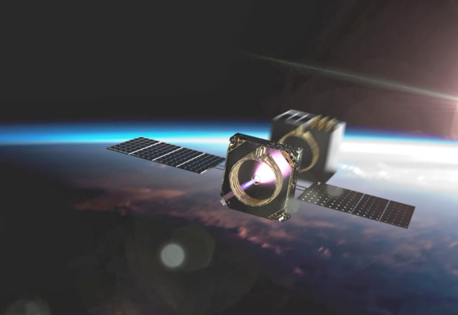
Executed in low Earth orbit using the company’s Vigoride-7 Orbital Service Vehicle (OSV), the flight demonstration evaluated autonomous tracking and relative navigation software while conducting proximity maneuvers near an orbiting NASA satellite.
Hardware Specifications and Onboard AI Sensing Architecture
The sensor architecture evaluated aboard Vigoride-7 combines commercial off-the-shelf (COTS) optical cameras with a compact, low-cost solid-state LiDAR unit, controlled by onboard edge-computing microprocessors.
Rather than relying on high-cost space-qualified military sensors, the payload uses computer vision algorithms and machine learning models to process range data, point-cloud spatial maps, and relative velocity vector calculations in real time. During the proximity approach sequence, the AI processing module analyzed optical and LiDAR telemetry to construct 3D spatial models of the target NASA spacecraft, maintaining continuous range lock without receiving manual piloting inputs from ground controllers.
Utilizing COTS hardware components lowers sensor payload mass, power consumption, and production costs, making autonomous optical tracking suites viable for smallsat servicing vehicles.
Active Debris Removal and In-Orbit Servicing Market Rationale
Demonstrating autonomous RPO capabilities using low-cost sensor suites aligns with growing commercial demand for in-orbit servicing, satellite inspection, and Active Debris Removal (ADR) capabilities.
Legacy satellite servicing architectures rely on complex ground teleoperation or expensive rendezvous sensors that restrict commercial viability. By shifting relative navigation processing to onboard AI edge modules, orbital service vehicles can safely approach non-cooperative targets, defunct upper stages, and client satellites to execute robotic capture, propellant refueling, or orbital repositioning maneuvers.
The successful flight data gathered during the Vigoride-7 campaign validates lower-cost avionics architectures for future commercial servicing fleets, opening cost-effective options for constellation maintenance and orbital debris mitigation.
Demonstration Flight Horizon and Operational Next Steps
Momentus engineering teams will process downlinked telemetry and sensor logs from the Vigoride-7 mission to further refine flight software algorithms and target-tracking models. The validated sensor architecture will be integrated into future Vigoride orbital service vehicles to support commercial satellite life-extension awards, orbital transfer missions, and multi-target active debris removal campaigns through 2027.
