
On February 18, 2026, Loft Orbital (Loft) announced a strategic contract with the SmartSat Cooperative Research Centre (SmartSat CRC) to deploy a software-defined wildfire detection application onto Loft’s existing on-orbit AI-enabled satellites.
This high-tech demonstration marks a shift toward near real-time, software-based environmental monitoring from Low Earth Orbit (LEO), aimed at providing sub-second detection of smoke signatures.
Validating Sovereign Earth Observation Capabilities
The partnership utilizes Loft’s “virtual mission” capability, which allows third-party developers to deploy software applications onto space infrastructure already in orbit. This initiative builds on the momentum of the Kanyini mission, Australia’s first sovereign state-led satellite launched in late 2024, which also features SmartSat CRC technology. By leveraging Loft’s on-orbit AI infrastructure, SmartSat CRC can bypass the multi-year hardware development cycle typically required for such missions.
Technical Performance and Hyperspectral Processing
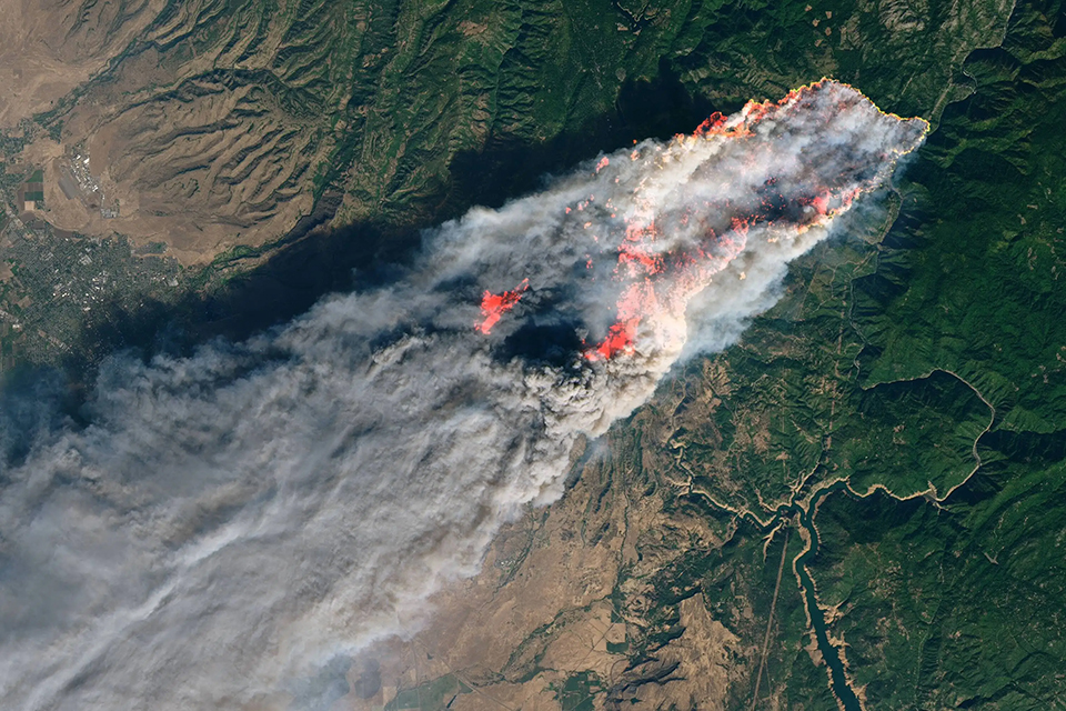
The detection application is engineered to identify small fire events by distinguishing hyperspectral smoke signatures from standard cloud cover or fog. Key technical components of the demonstration include:
- Edge Processing: Autonomous on-orbit data filtering to generate low-latency alerts without downloading massive raw datasets.
- Platform Integration: The application runs on Loft’s YAM-6 node, which is specifically optimized for high-performance compute workloads.
- Alert Latency: The system is designed to trigger automated ground-based notifications within minutes of identifying a thermal or spectral anomaly.
Executive Commentary
“This partnership with SmartSat CRC is an important step in proving how software-defined missions can advance vital Earth observation goals,” said Mack Koepke, Senior VP of Business Development at Loft. “By testing this application on our satellite platform, we are establishing the technical foundation required to provide low-latency insights to emergency organizations on a global scale.”
Professor Andy Koronios, CEO of SmartSat CRC, added: “Developing sovereign space technologies that address Australia’s unique environmental challenges is our focus. Proving the technical feasibility of generating low-latency alerts is a vital step toward a fully operational service for fire agencies.”
Timeline to Operational Deployment
The project serves as a critical proof-of-concept for the Australian government and wildfire fighting agencies. Following successful validation on Loft’s current assets, the parties intend to explore a broader rollout across Loft’s expanding constellation of AI-enabled satellites. This roadmap aligns with global efforts to move from “images to answers,” where space-based data is converted into actionable intelligence before it even reaches the ground.