ULA 's Saturday launch was canceled due to weather conditions and is rescheduled for Sunday.

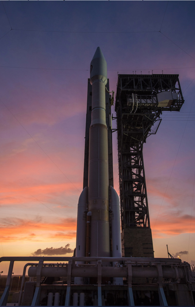
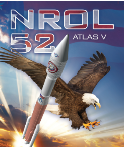
Cape Canaveral Air Force Station, Florida, (October 6, 2017) A ULA Atlas V rocket carrying the NROL-52 mission stands poised for launch that was delayed.
Photo courtesy of ULA.
DIGITAL SATELLITE C-BAND DOWNLINK
HD FORMAT
SATELLITE — G3
TRANSPONDER — 24
BAND — C-BAND DIGITAL
ORBITAL POSITION — 95°W
HD BANDWIDTH — 18 MHz (HALF TRANSPONDER`CD’)
DOWNLINK — 4171.000 V
UPLINK — 6396.000 H
SYMBOL RATE — 13
FEC — ¾
DATA RATE — 17.9705
DVBS – QPSK
MPEG 2
AUDIO EMBEDDED
Even though NROL-52's mission is a secret in the interest of national security, there are those observers who are often able to identify different classes of spacecraft, track the satellites in orbit and note aspects of their missions and some of their capabilities.

Through the process of elimination, and the fact that the launch is taking place from Cape Canaveral, it is unlikely to be carrying an imaging satellite. Typically, optical imaging payloads use a near-polar sun-synchronous orbit which provides consistent lighting conditions and allows a satellite to observe most of the planet’s surface, while the current-generation Topaz radar-imaging satellites use a retrograde orbit, flying east-to-west around the planet.
NROL-52 is expected to lift off hours after the sixtieth anniversary of the world’s first orbital launch. At 19:28 UTC on Friday, October 4, 1957 the Soviet Union launched a modified R-7 missile from Site 1/5 at what is now the Baikonur Cosmodrome, carrying the Prosteyshiy Sputnik 1 (PS-1) known as Sputnik 1 into Low Earth Orbit (LEO).
Since then there has been much success with more than 5,000 launches having reached orbit and as well as numerous failures. To date 10 countries:
- the Soviet Union
- United States
- France
- Japan
- the People’s Republic of China
- the United Kingdom
- India
- Israel
- Iran
- North Korea

The National Reconnaissance Office's (NRO) systems are critical to National Security, U.S. policy makers, and war fighters. These systems provide the foundation for global situational awareness, and address the nation's toughest intelligence challenges. Frequently, NRO systems are the only collectors able to access critical areas of interest, and data from overhead sensors provides unique information and perspectives not available from other sources.
The NRO's key customers and mission partners include: policy makers, the Armed Services, the Intelligence Community, Departments of State, Justice and Treasury, and civil agencies. All of them depend on the unique capabilities NRO systems provide:
- Monitoring the proliferation of weapons of mass destruction
- Tracking international terrorists, drug traffickers, and criminal organizations
- Developing highly accurate military targeting data and bomb damage assessments
- Supporting international peacekeeping and humanitarian relief operations
- Assessing the impact of natural disasters, such as earthquakes, tsunamis, floods, and fires.

Together with other Defense Department satellites, the NRO systems play a crucial role in providing global communications, precision navigation, early warning of missile launches and potential military aggression, signals intelligence, and near real-time imagery to U.S. forces to support the war on terrorism and other continuing operations.
NRO satellites also support civil customers in response to disaster relief and environmental research. Scientists created a global environment database using NRO imagery to help predict climate change, assess crop production, map habitats of endangered species, track oil spills, and study wetlands. NRO data also forms the basis for products that help depict and assess the devastation in areas affected by natural disasters.
The NRO's innovation also inspired technology in everyday life with contributions to medical imaging, global communications, high-definition television, cellular phones, the global positioning system (GPS), and much more.

