
[SatNews]...satellites “see” environmental features such as clouds, bodies of water, snow, fire, and pollution in the visual and infrared spectra.
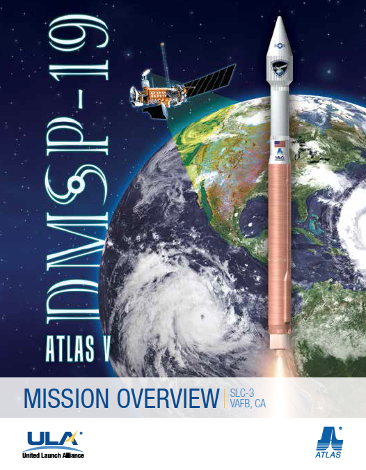
Everything is progressing for the Air Force’s DMSP-19 launch. The mission is set to liftoff on a ULA Atlas V rocket on Thursday, April 3 from Space Launch Complex 3 at Vandenberg Air Force Base in California at 7:46 a.m. PDT. Today’s L-3 forecast shows a 90 percent chance of favorable weather conditions for launch.
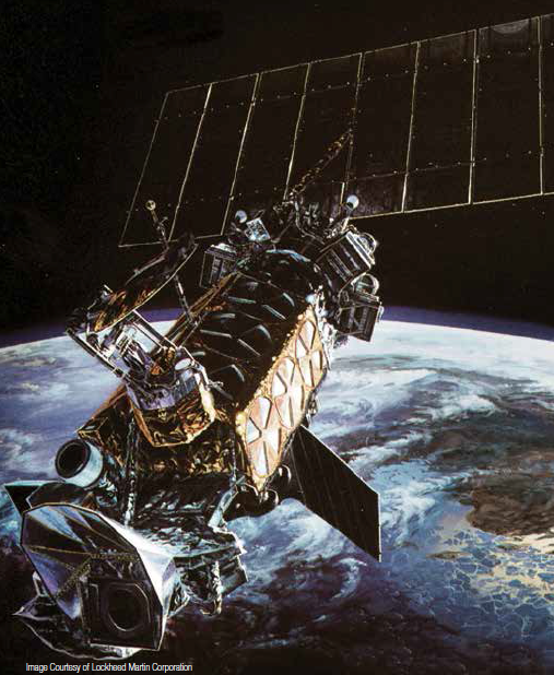
 DMSP is a space- and ground-based system used to collect and disseminate timely global environmental data to the Department of Defense and other governmental agencies. This environmental data consists of visible and infrared cloud cover and other specialized meteorological,
oceanographic, and solar-geophysical information required to support the war fighter. DMSP satellites “see” environmental features such as clouds, bodies of water, snow, fire, and pollution in the visual and infrared spectra. The data can be used to determine cloud type and height,
land and surface water temperatures, water currents, ocean surface features, ice, and snow.
DMSP data are processed on the ground, interpreted by meteorologists, and ultimately used in planning and conducting U.S. military operations worldwide. Each satellite has an orbital period of about 101 minutes and crosses any point on the Earth up to twice a day, thus providing nearly complete global coverage of clouds every six hours.
The visible and infrared sensors collect images of global cloud distribution across a 3,000-km swath during both daytime and nighttime conditions. The coverage of the microwave imager and sounders are one-half the visible and infrared sensors coverage. They cover the polar regions above 60 degrees twice daily and the equatorial region once daily.
The DMSP is composed of the space segment; the command, control, and communications segment (C3S); and the user segment. The principal function of the space segment is to continually acquire environmental data through its satellite sensors. Mission data downlinks include stored data and real-time transmissions. Raw sensor data are stored onboard the satellite for delayed transmission to the C3S.
Subsequently, the data are relayed to strategic elements of the user segment for ground processing into environmental data records and analysis. Raw data can also be transmitted directly from the space segment to tactical elements of the user segment for ground processing and analysis.
Satellite Coordinates - ALL TIMES PACIFIC DAYLIGHT TIME
TEST – WEDNESDAY, APRIL 2, 2013
12:00 – 12:30 P.M.
LAUNCH – THURSDAY, APRIL 3, 2014
BARS AND TONE – 6:56 A.M.
PROGRAM START – 7:26 A.M.
LAUNCH WINDOW– 7:46 – 7: 56 A.M.
TRANSMISSION FOR DIGITAL HIGH DEFINITON
SATELLITE: AMC-1
TRANSPONDER: 12- Lower
BAND: C-Band Digital
ORBITAL POSITION: 103 Degrees West
HD BANDWIDTH: 18 MHz (Half Transponder)
DOWNLINK FREQ: 3931.0 MHz (Vertical)
UPLINK FREQ: 6156.0 MHz (Horizontal)
SYMBOL RATE: 13
FEC: 3/4
DATA RATE: 17.9705
DVBS: QPSK
MPEG 2
AUDIO EMBEDDED
Web cast is available here.