
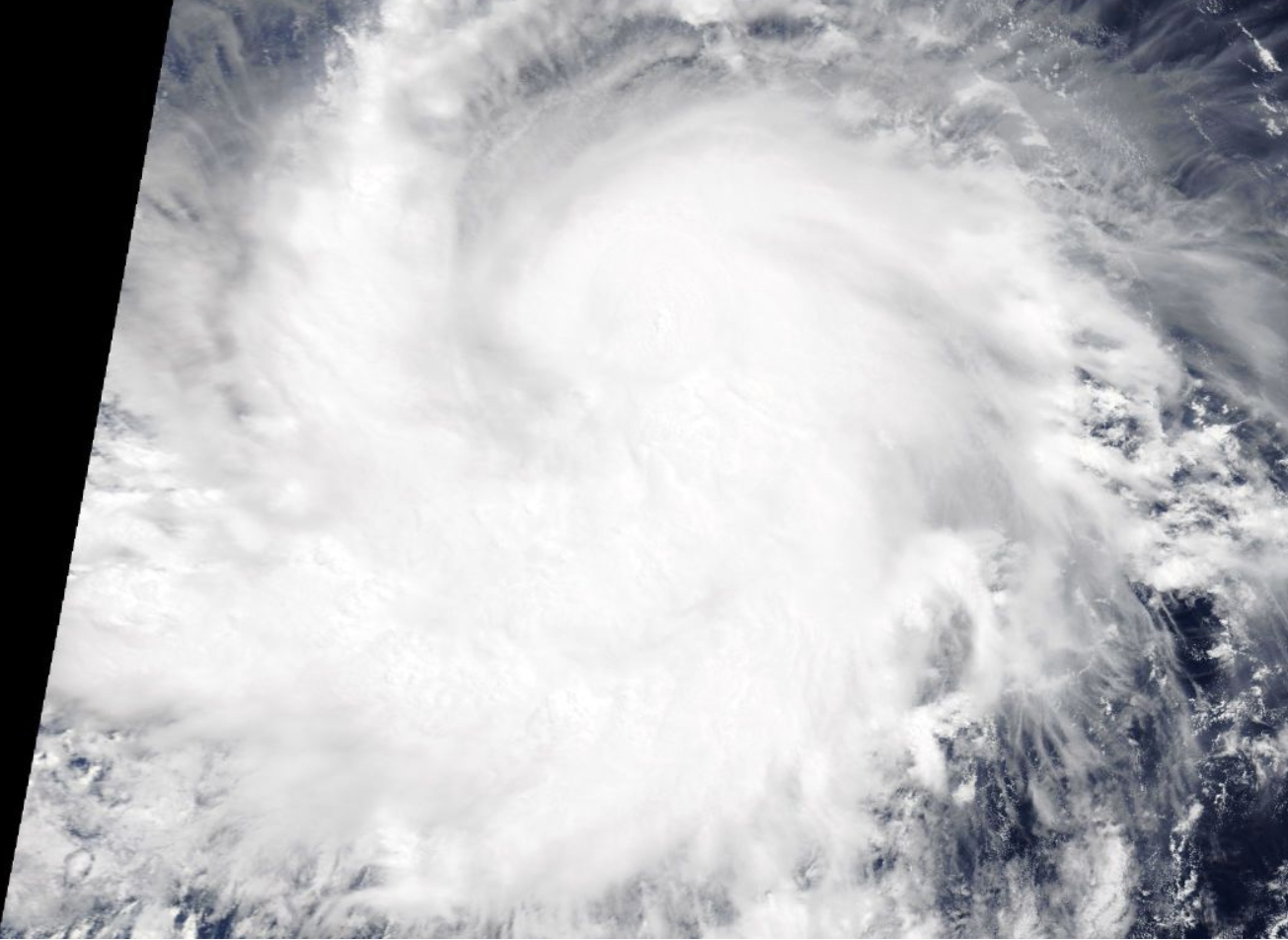
On July 13, 2017, at 1:30 p.m. EDT, NASA’s Terra satellite captured this close up image of Hurricane Fernanda in the Eastern Pacific Ocean. Credits: NASA Goddard MODIS Rapid Response Team
Hurricane Fernanda is moving through the deep tropics and there’s nothing in its way to prevent it from becoming a major hurricane. NASA’s Terra satellite took a closer look at the strengthening storm.
On July 13 at 1:30 p.m. EDT, the Moderate Resolution Imaging Spectroradiometer or MODIS instrument aboard NASA’s Terra satellite captured a close-up visible-light image of Hurricane Fernanda as it continued moving west through the Eastern Pacific Ocean. The visible MODIS image showed a concentration of strong thunderstorms wrapped around the low-level center and a large, thick band of thunderstorms spiraling into the center from the west. Although the image did not reveal an eye, a ragged eye formed later in the day and was seen in satellite imagery using infrared light.
By July 14 at 5 a.m. EDT (0900 UTC), the center of Hurricane Fernanda was located near 11.0 degrees north latitude and 117.9 degrees west longitude. That’s about 975 miles (1,570 km) southwest of the southern tip of Baja California, Mexico. Fernanda’s maximum sustained winds had increased to 100 mph (155 kph). Fernanda was moving toward the west near 12 mph (19 kph) and this motion is expected to continue over the next couple of days.
The National Hurricane Center said that some additional strengthening is anticipated during the next 48 hours, and Fernanda is likely to become a major hurricane later today.
For updated forecasts, visit.
By Rob Gutro
NASA's Goddard Space Flight Center, Greenbelt, Md.