
Solutions for how to get more from imagery, such as "How geometric correction within 1/10th of a pixel is critically important for spatio-temporal analyses", will be available in a Webinar on May 15, 2PM EDT, from PCI Geomatics.
In this webinar, Analysis Ready Data and the Open Data Cube, PCI Geomatics will reveal how it is leading efforts to apply its proven technology to generate Analysis Ready Data (ARD) at scale through scientifically accurate workflows and scalable GXL technology, to populate the Open Data Cube.
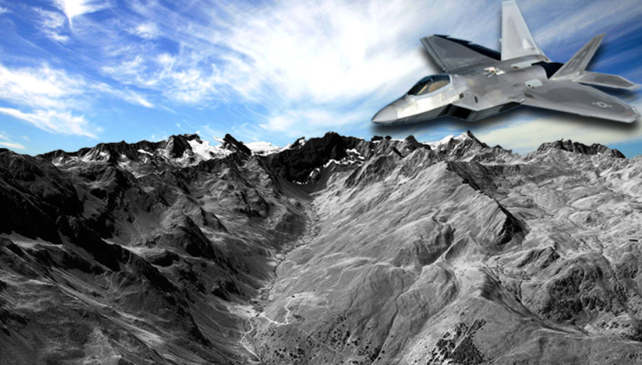
Digital Surface Model and High Resolution imagery drape over the Alps, produced using a high volume GXL production system.
Speakers are:
- Kevin Jones, Director of Marketing, PCI Geomatics
- Guillaume Morin, GXL Delivery Lead, PCI Geomatics
PCI Geomatics developed Geomatica® a complete and integrated desktop software that features tools for remote sensing, digital photogrammetry, geospatial analysis, map production, mosaicking and more, enabling users to apply imagery in support of a wide range of applications such as the environment, agriculture, security and intelligence, defense, as well as in the oil and gas industries.
PCI Geomatics is also the developer of the GeoImaging Accelerator (GXL), an automated Graphics Processor (GPU) system for processing terabytes of imagery data.
Led by Geoscience Australia, the Open Data Cube initiative is the most important advancement in geospatial image processing in recent years. It will allow organizations around the world to effectively deal with Big Data challenges and perform powerful spatio-temporal analyses on the ever increasing present and future Earth Observation archives collected daily by missions such as Copernicus, Landsat, Planet, and many more Earth Observation spaceborne Optical and SAR platforms.
What You'll Learn
- How geometric correction within 1/10th of a pixel is critically important for spatio-temporal analyses
- How to leverage PCI developed technology and workflows to accurately co-register imagery and automate processing
- How to correct for atmospheric effects through image calibration, which is critically important for spatio-temporal analyses
- How to leverage PCI developed technology and workflows to accurately calibrate multi-sensor imagery and automate processing
- Open Data Cube Overview and integration with Analysis Ready Data workflows through scalable GXL processing, deployed on chosen architecture e.g. enterprise, cloud
PCI Geomatics, founded in 1982, provides geo-imaging products and solutions and has helped set the standard in remote sensing and image processing tools offering customized solutions to the geomatics community in over 135 countries.