 This Aided Geo Augmented Navigation (GAGAN) satellite project was first initiated by the Indian Union Minister for Civil Aviation, Praful Patel. The Indian Space Research Organization (ISRO) has now successfully launched five satellites using the PSLV-C15 launch vehicle: CARTOSAT-2B, ALSAT-2A, AISSAT-1, TISAT-1, and STUDSAT.
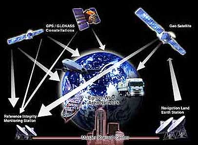
GAGAN is a Satellite Based Navigation System (SBNS) used to Provide Satellite Based Augmentation System Services over India and neighboring regions. GAGAN will provide seamless coverage of air traffic from south Asia to Africa and connect to the systems of Europe and Japan. In the next five years, the Indian airspace will get more crowded and the chances of accidents may certainly increase. To reduce the chances of future air disasters, Airports Authority of India (AAI) and Indian Space Research Organisation (ISRO) are implementing this system. The GAGAN project receives GPS signals from international satellites and boosts their accuracy, locking a plane’s position anywhere in India to within three meters. This is made possible by tracking satellites from 15 locations across India and by comparing and correcting their data in Bangalore.

