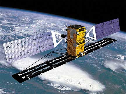
Artistic rendition of MDAs RADARSAT-2 satellite
...amendment for CA$11.9 million to increase its provision of RADARSAT-2 satellite imagery to Europe’s Global Monitoring for Environment and Security (GMES) program. The additional RADARSAT-2 imagery addresses the gap in data availability created by the recent loss of the European Space Agency’s (ESA) ENVISAT satellite and fulfills ESA’s maritime monitoring needs until the full operational capacity of the Sentinel-1A satellite is available, which is expected around mid-2014. MDA has been under contract to ESA since May 2009 to provide RADARSAT satellite imagery for their user community.
The RADARSAT-2 imagery will be used to provide cost-effective mission-critical information for sea ice monitoring of the Baltic Sea, Arctic Ocean, and Antarctic Ocean throughout the ice seasons, improving the safety of maritime navigation and supporting environmental monitoring as part of the GMES program. GMES was established to provide users in Europe with access to accurate and timely information services to better manage the environment, understand and mitigate the effects of climate change, and ensure civil security.
When launched by ESA in 2002, ENVISAT was the largest non-military remote sensing satellite ever to enter operations. For 10 years, twice the satellite’s planned operational life, ENVISAT provided users around the world with detailed information on the Earth’s land, oceans, atmosphere, and environmental conditions. The expanded provision of RADARSAT-2 data to this user base will provide continuity to ENVISAT’s synthetic aperture radar (SAR) legacy, while offering a number of operational advantages and compatibilities:
- Widest Swath Widths: Both ENVISAT and RADARAT-2 have wide area modes for efficient coverage to deliver comparable data coverage continuity. For example, one RADARSAT-2 ScanSAR Wide image covers 250,000 km2, many times larger than current X-Band sensors
- Frequency and Algorithm Continuity: ENVISAT data users have based much of their work on a 10-year supply of C-Band SAR, developing many applications and algorithms specifically for that frequency
- Multiple Polarization Capabilities: RADARSAT-2 has selective single-polarization, selective dual-polarization, and quad-polarization, allowing the radar pulses to better detect surface features, target shapes, and sea/ice boundary determination
- Large Imaging Capacity and Data Availability: RADARSAT-2 collection capacity is very high, much like the ENVISAT ASAR collection capacity. RADARSAT-2’s large available commercial capacity is much less constrained than other missions, thereby ensuring a high level of data availability, without risk of substantial losses caused by resource constraints