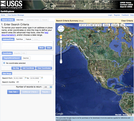
....have been posted in free access. This was announced by the U.S. Geological Survey (USGS) on January 9, 2012. More than 180,000 scenes with the resolution of 1m (pan) and 4m (multispectral) of various Earth areas are now accessible via the EarthExplorer web-interface. Matthew Larsen from USGS noted that these data are an essential supplement to the USGS archive and are of high value for the scientific community.
OrbView-3 images have been distributed under the Public Domain license, meaning the data can be freely copied, distributed or used to create derived products. OrbView-3 data are not ortho-rectified., which is performed only for separate scenes "on-demand".
OrbView-3 satellite was launched into sun-synchronous orbit on June 26, 2003. The vehicle was taken out of service on March 4, 2007. The OrbView High Resolution Imaging System camera was installed on the satellite, which helped to obtain multiple panchromatic 1m resolution and multispectral 4m resolution images. Swath width was 8km. The satellite operator was OrbImage company, now known as GeoEye after merging with Space Imaging in February of 2006.


