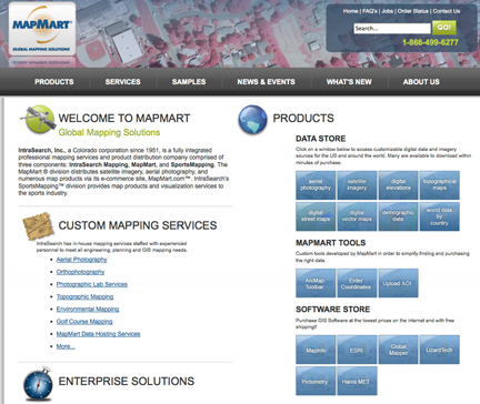
The MapMart On-Demand Toolbar may be downloaded at no charge from the MapMart website. The MapMart On-Demand Toolbar makes it possible for ArcMap users to highlight or define any geographic area of interest within their GIS project and instantly search the MapMart product database for geospatial data sets matching the AOI criteria. Thumbnails of relevant satellite imagery, aerial photographs, DEMs, topographic maps, and vector data sets available for purchase from MapMart can be viewed onscreen. ArcMap users can modify the search to match cloud-cover, vendor and acquisition date parameters for any GIS project worldwide. With the exception of downloading the final files, all steps of imagery acquisition can be completed without leaving the ArcMap interface.
MapMart offers a wide variety of U.S. and International geospatial data sets via the On-Demand Toolbar with additional data coming online daily. Some of the products currently available include:
- DigitalGlobe Satellite and Aerial Imagery
- GeoEye Satellite Imagery
- SPOT Imagery
- RapidEye Imagery
- Aerials Express Imagery
- Microsoft Imagery
- Pictometry International Oblique and Orthogonal Imagery
- Terrametrics TruEarth Imagery
- Harris Globe15 and Conus10 Imagery
- DeLorme World and North American Street data
- Tele Atlas Street data
- EASI Demographics
- Intermap DEM data
- HIDEM worldwide DEM data


